
Hiking along the waterfront is a refreshing, exotic, and impressive activity. The seasons are all different, and neither is the guarantee of seeing the rivers swollen. But regardless, these places command respect and encourage us to preserve this natural environment that is so dear to us.
Start: Vions car park (locate the Vions car park here)
Walk option:
Round trip to the Saut du Doubs
Distance : 5 km
Elevation : 150 m positive
Sports option:
Route n°31 “Saut du Doubs – Chatelard”
Distance : 9,2 km
Elevation : M 789
"Impressive!" That's the word that comes to mind when faced with this waterfall at its peak flow. It's a feast for the eyes, so powerful, so imposing, and its sheer force fills the ears. In short, you feel quite small in the face of this waterfall. Or rather, you feel small in the face of Mother Nature, because the cascade is sometimes dry. But continuing your walk towards the Châtelot dam, you'll follow the river and enjoy some truly beautiful scenery.
Once you arrive at the Saut du Doubs, enjoy the view from a variety of vantage points. You then have the choice of returning (walking option) or a more sporty hike, continuing along the Doubs before climbing (we'll warn you right away, it's a long climb) above the Châtelard to enjoy a beautiful view of the Doubs just below.
More information (map, GPX track, etc.) on hike no. 31 Saut du Doubs – Châtelard on our hiking page.
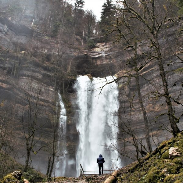
Departure: Consolation site parking lot
Walk option:
Round trip to the Lançot waterfall
Distance : 2 km
Elevation : 130 m positive
Sports option:
Circuit No. 1 "Bat-Rock"
Distance : 9 km
Elevation : M 350
"Impressive!" Here too. Especially when you get up close and feel the rush of the waterfall and its spray. How invigorating! Perhaps all the more so since the Consolation waterfall is less frequent. More timid, or even absent altogether, when the rain is scarce. But you won't be disappointed because the entire Cirque de Consolation is worth the detour. Along the path, there are streams everywhere; you don't know where to look, and the atmosphere is always magical… mysterious. A sacred place of Mother Nature that commands respect and that you want to preserve.
There's plenty of opportunity to recharge with a leisurely stroll. For the more athletic who want to enjoy a great outing, opt for the "Chauve-Roche" hike starting from Mont de Laval.
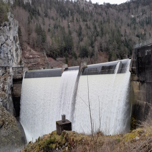
Start: Châtelot car park ( locate the Châtelot car park here )
Walk option:
Route No. 33 “Châtelot Dam”
Distance : 2 km
Elevation : M 222
Sports option:
Route No. 32 “Granary Cave”
Distance : 8 km
Elevation : M 378
It's always surprising to see how much the width of the Doubs riverbed can vary in just a few kilometers. Upstream from the dam, as you walk along the Doubs, you can appreciate its size. What's also impressive is remembering what this same place looks like during a drought. What a difference! The Châtelot dam is imposing, so what a sight when the water overflows! It's so powerful that you feel more comfortable a little further back...
Small waterfalls, streams, peat bogs or rivers, here is something to extend the list of hikes where water has its place.
Close to the Dessoubre valley and the Waroly waterfalls.
Level : AVERAGE
Start time : Village of Orgeans
Distance : 6 km
Elevation : M 277
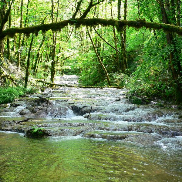
To enjoy a beautiful view of the Doubs valley and cross the waterfall towards the Roche cave.
Level : AVERAGE
Start time : Tourist Office in Saint-Hippolyte
Distance : 11 km
Elevation : M 620
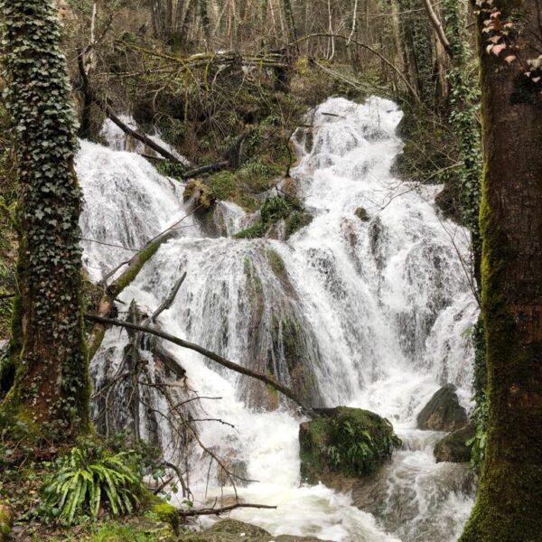
It's a marvel in all seasons and even more impressive when there's a flow.
Level : AVERAGE
Start time : Liberation Square in Gras
Distance : 5,3 km
Elevation : M 285
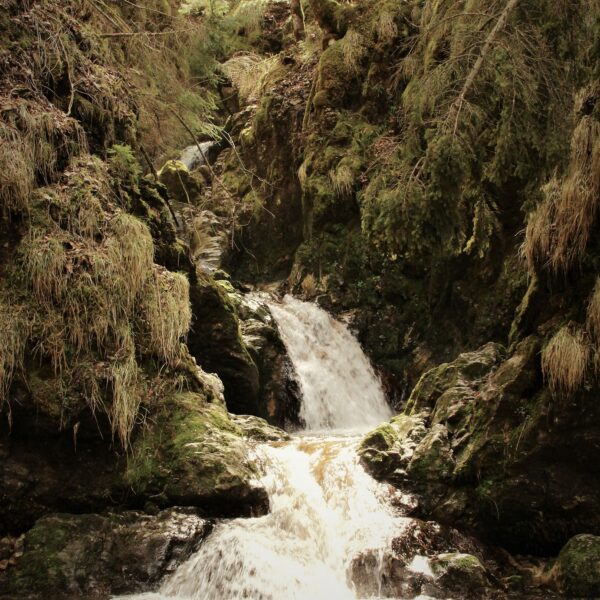
Discovering the Les Belles Seignes peat bogs, painted by Isenbart. Family trail.
Level : easy
Start time : Christmas Church-Cerneux
Distance : 7 km or 9 km – 2 possible round trip routes
Elevation : 100 m or 150 m
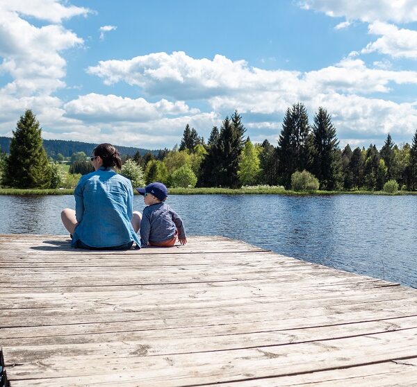
The Doubs, on the French side and the Swiss side from the Franco-Swiss village of Goumois.
Level : AVERAGE
Start time : Goumois
Distance : 12 km
Elevation : M 220
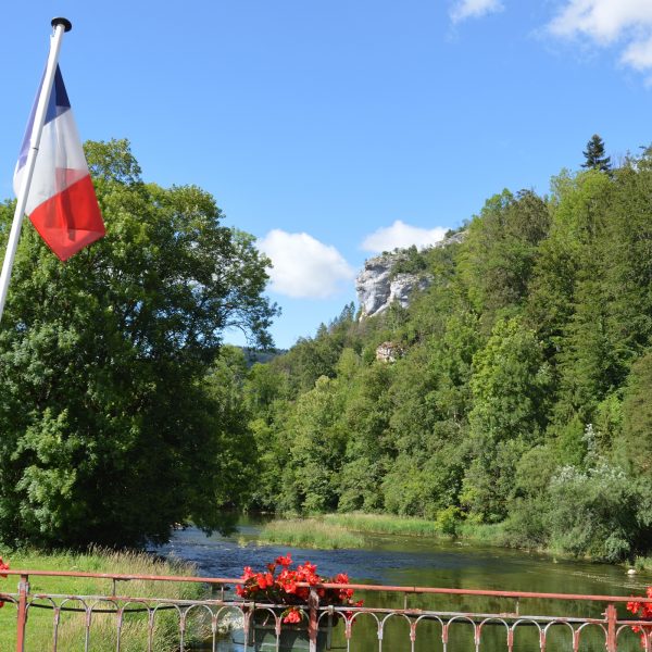
Follow the Doubs and brush against Switzerland.
Level : AVERAGE
Start time : Death Ladders Parking Lot
Distance : 8 km
Elevation : M 280
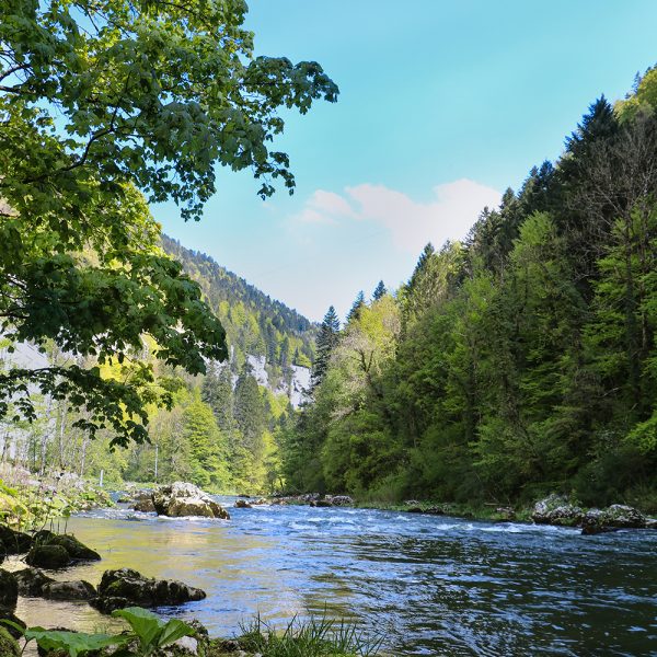
Do not forget the code of conduct for hikers.
Outside of summer, wear brightly colored clothing and good, waterproof shoes.