
Doubs and Dessoubre, two rivers, two valleys that shape and mold the landscapes of Doubs Horloger Regional Natural Park in which is located the Pays Horloger.
Go up the river from Saint-Hippolyte. From this charming town where it flows into the Doubs, follow the Dessoubre for 33 kilometers to the Cirque de Consolation where it originates.
Discover this picturesque and unspoiled valley, boasting exceptional natural beauty . With each season, the landscape transforms, offering a feast for the eyes for both locals and visitors. It's a paradise for anglers and walkers who appreciate the tranquil atmosphere.
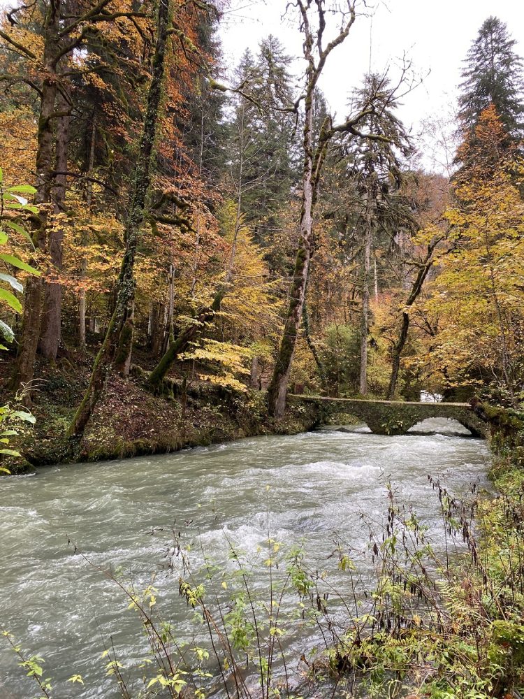
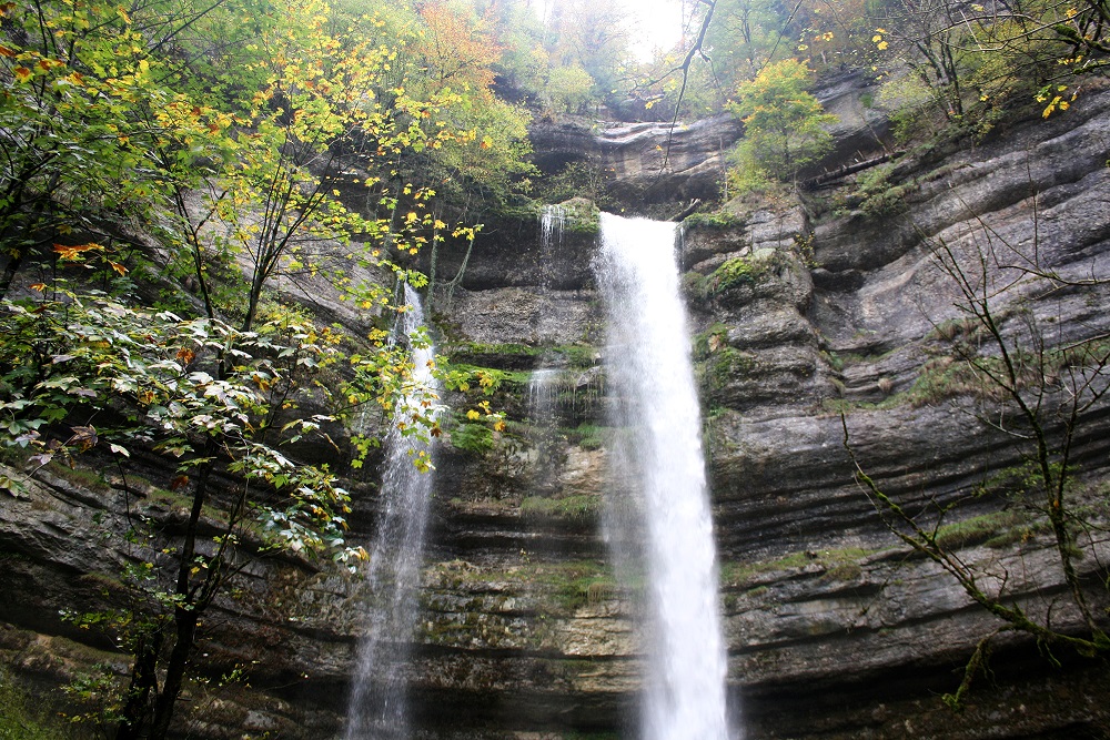
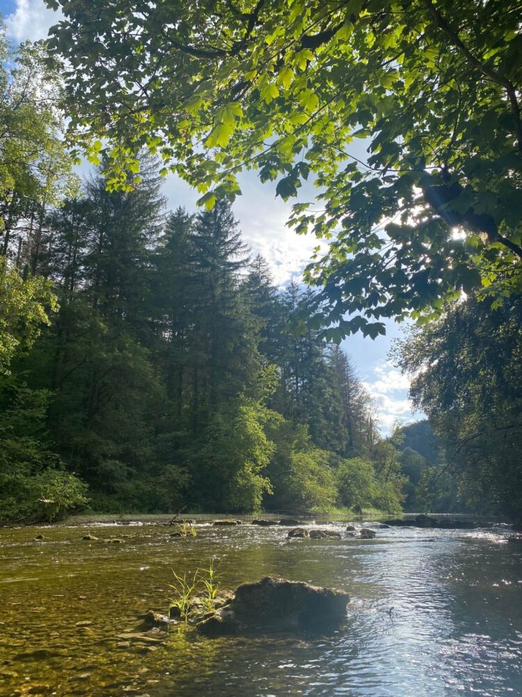
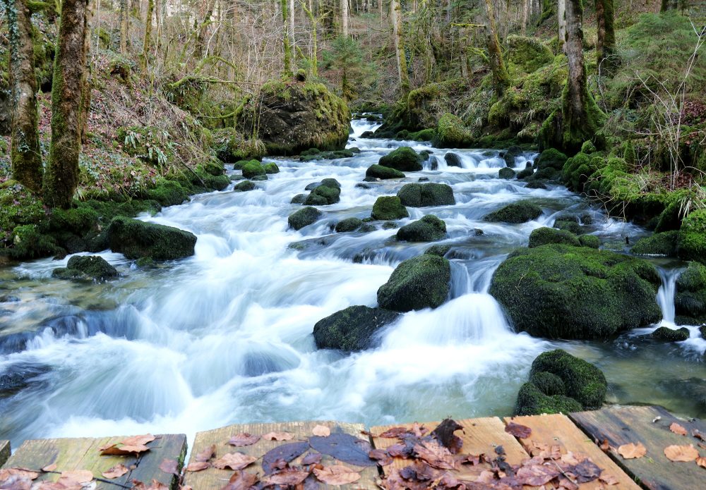
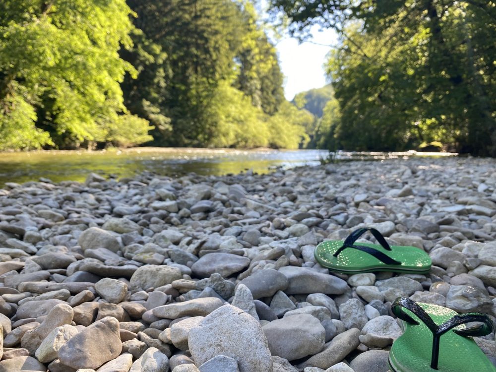
Whether you're a couple, a family, or a group of friends, bring your picnic and enjoy a relaxing and rejuvenating experience. Even in the sweltering summer heat, it's always cool by the Dessoubre River! Come dip your toes in the shallow water, making it ideal for families with young children. Conclude your visit with a trip to the Cirque de Consolation , an impressive, secluded natural amphitheater. There you'll find short family hikes, waterfalls that offer a beautiful spectacle in winter or spring, small caves, and an old monastery open to visitors.
Finally, for an exceptional view of the valley, go up to the Roche du Prêtre viewpoint , on foot or by car (towards Guyans-Vennes), take out your camera to keep a memory of this green nature.
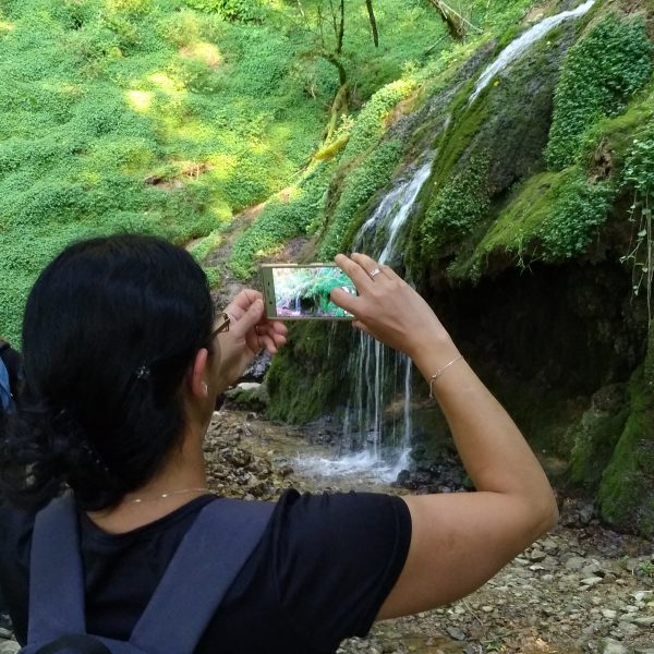
This family hike promises the most imaginative an immersion in a magical world where elves are never far away. Streams , tufa formations, and numerous waterfalls dot the route. A haven of tranquility and coolness , you'll be immersed in a wild, unspoiled, and mysterious atmosphere throughout the trail, where mountain people once performed their Celtic rituals… You'll certainly stay cool, you'll be able to get close to the Dessoubre River , and who knows, perhaps even observe a fly fisherman in silence.
Start: Orgeans , village square
Distance: 6 km
Elevation gain: 150 m
Duration: 2 hours 15 minutes
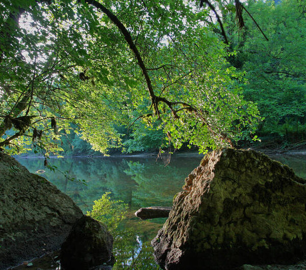
This hike is for experienced hikers. This pretty loop takes you from the heights to the banks of the Dessoubre River, boasting a variety of kilometers and elevation gains.
Departure: Mont de Vougney
Distance: 14 km
Elevation gain: 442 m
Duration: 4 hours 30 minutes
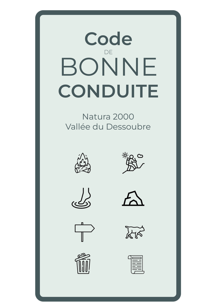
Before heading out on the trails, or settling down for a picnic, here is some very useful information, in the form of a code of good conduct to help you experience this exceptional natural site with the right attitudes.
453 kilometers long, the Doubs crosses 3 departments. It crosses the Pays Horloger while making a short detour through Switzerland.
All along the river, the landscapes are different and change colors with each season. This makes the walkers, kayakers, fishermen, motorcyclists, locals or tourists who like to recharge their batteries there, discover it or rediscover it. Navigate the Doubs basins in autumn during a boat trip or a canoeing and believe you are in Canada, visit the Doubs Gorges following the road of Morteau in Pontarlier, or even gain height to contemplate its course and the Jura landscape, this river offers you a multitude of possibilities to discover it on foot, by car, by motorbike, by boat.
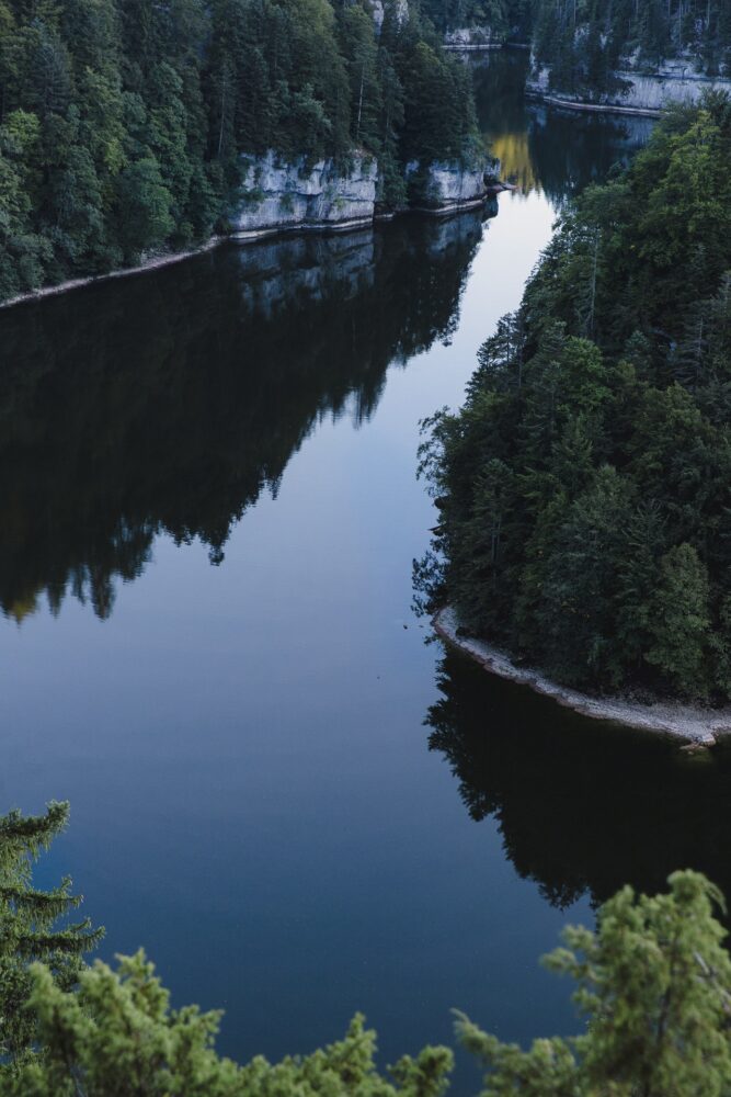 ©Laurent Cheviet
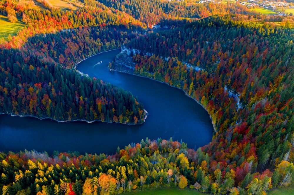 ©Aerodyne France
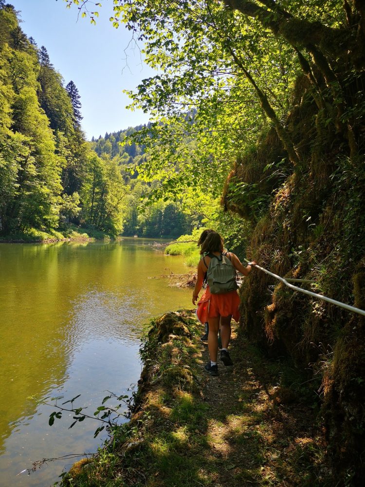
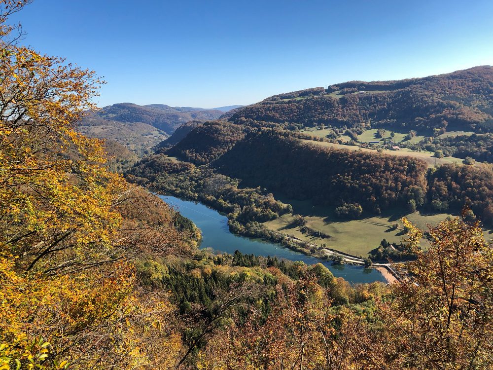
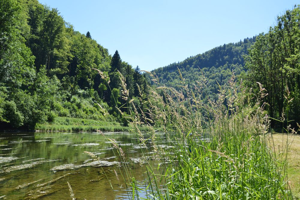
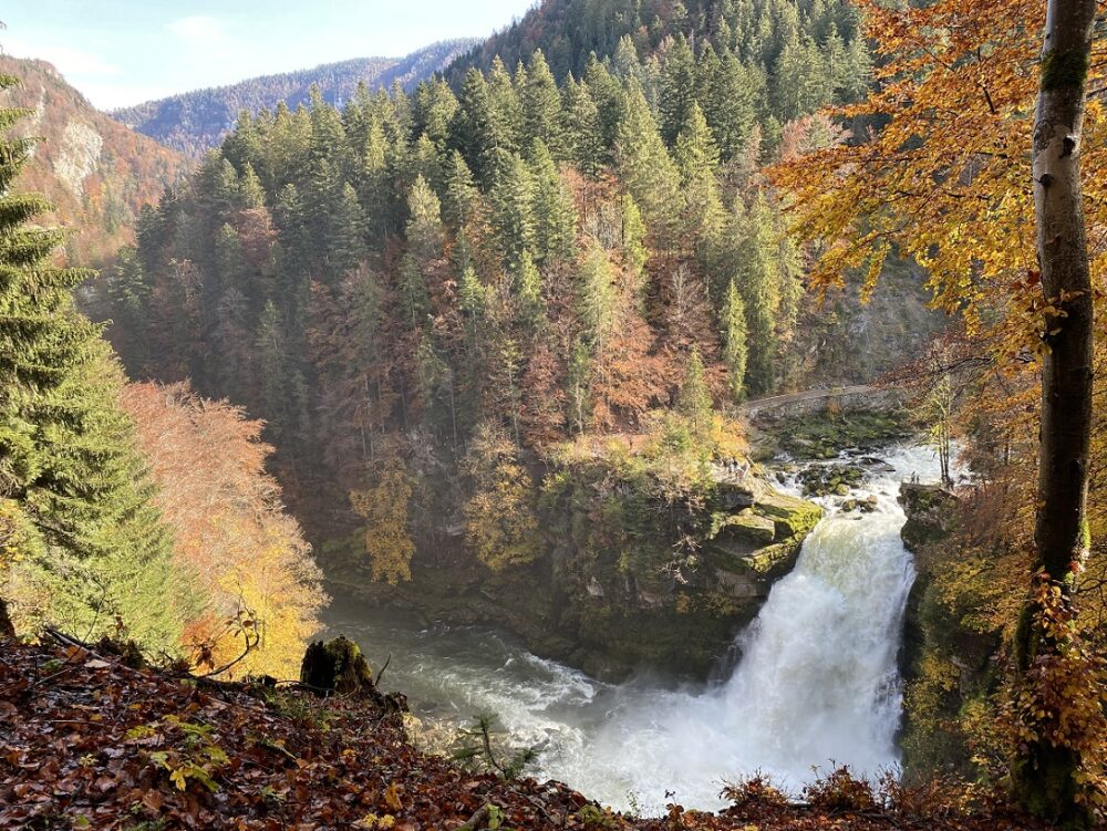
Take the time to visit the Saut du Doubs , a 27-meter waterfall, Goumois , the Franco-Swiss pearl, where the Doubs forms the border between France and Switzerland, the Entreroches gorge where you will be between river and mountain or contemplate it from the many viewpoints.
Who says river, says fishing, and in Pays Horloger, the Doubs offers several routes very popular with fishermen where different varieties of fish coexist and which we like to taste in the many restaurants.
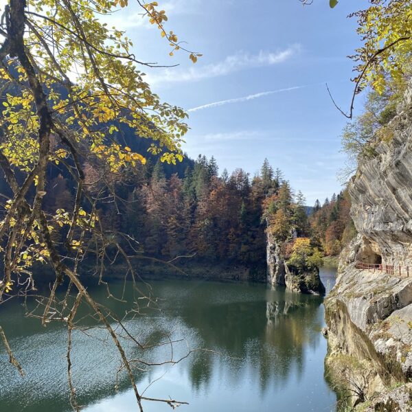
Unmissable in the Val de Morteau with the Leap of the Doubs as a highlight and three belvederes, 2 in France and the other in Switzerland accessible using a footbridgeThe hike, on the French side, runs along the Moron Lake, reservoir of the Châtelot damThis is where the difficulty begins with the climb to the Châtelard viewpoint. The view of the lake is magnificent! The ridge path continues then descends back to the starting point through forests and meadows.
Departure: Vions car park
Distance: 10 km
Elevation gain: 560 m
Duration: 3 hours 10 minutes
This activity was tested by a passionate local. Here is what he had to say:
 ©pays horloger

Marielle Vaulthier

 Play Border Jump
On foot, head towards the Saut du Doubs. Don't stop at the viewpoint; continue your walk along the Doubs Gorges towards the Chatelot Dam. If you're a seasoned hiker, you can make a loop and cross the Doubs River to the Swiss side on the Japanese footsteps.
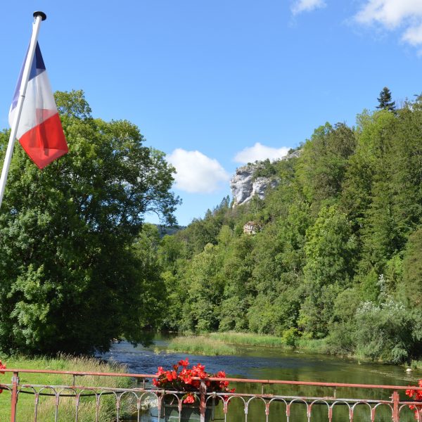
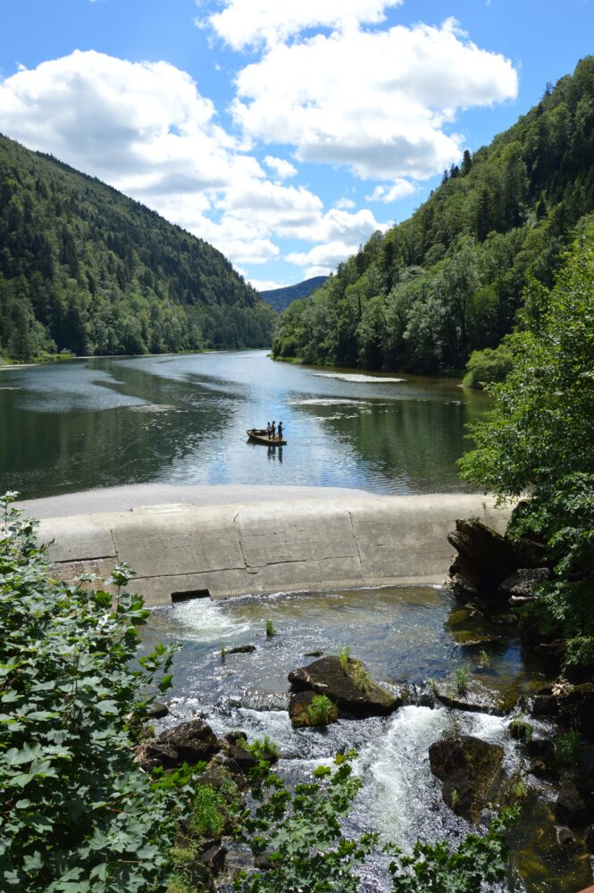
An accessible hike, without too much elevation gain, perfect for cooling off in the summer. Enjoy the coolness of the forest and take a short trip into Switzerland . The route offers several pleasant stops, such as the chapel and a refreshment break on a terrace on the Swiss side. This hike will take you along the banks of the Doubs River on both the French and Swiss sides , a true Franco-Swiss gem.
Departure: Goumois
Distance: 13 km
Elevation gain: 182 m
Duration: 3 hours
This activity was tested by a passionate local. Here is what he had to say:
 ©Frederique FLEURY
The Fred
The Franco-Swiss PearlWe're playing border hopping during this hike. We start in France at Goumois and follow the Doubs River. A hike in the shade and coolness, appreciated in summer. We cross the bridge at La Goule to reach Switzerland and continue the hike along the water and in the shade of the fir trees. Bring some Swiss money for a drink on the terrace at Le Theusseret right next to the dam.
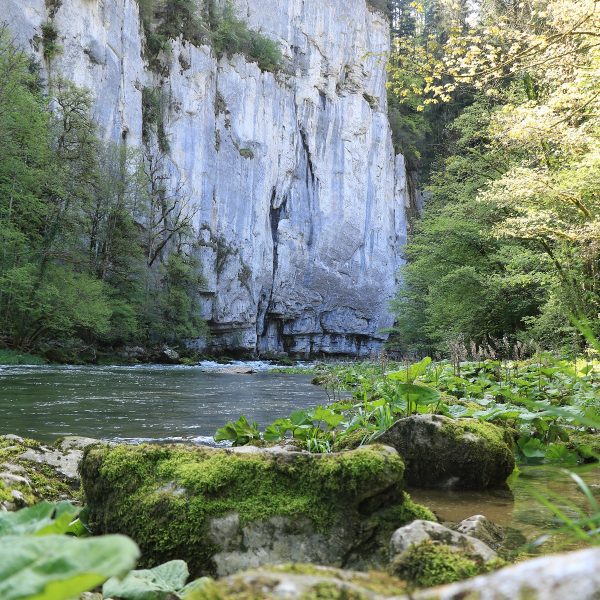
A lovely hike that follows the Doubs River and allows you to discover this area steeped in its smuggling past , with its unusual name: the Valley of Death ! You'll start by taking the infamous Ladders of Death …
Start: Refrain factory parking lot / Echelles de la Mort, Charquemont
Distance: 7 km
Elevation gain: 325 m
Duration: 2 hours 30 minutes
 Need some guidance?